Уважаеми клиенти, Шоурумът няма да работи от 15-ти август до 7-ми септември. Обслужването на онлайн поръчки и доставки се извършва без прекъсване. Очакваме Ви отново в Шоурума на 8-ми септември!
Срокът за доставка при наличност в склада в Нидерландия е 2-5 седмици. В случай на по-дълъг срок, ще се свържем с Вас с допълнителна информация.
Premium membership
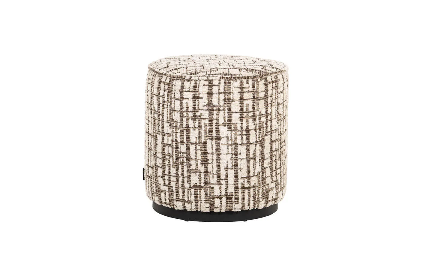
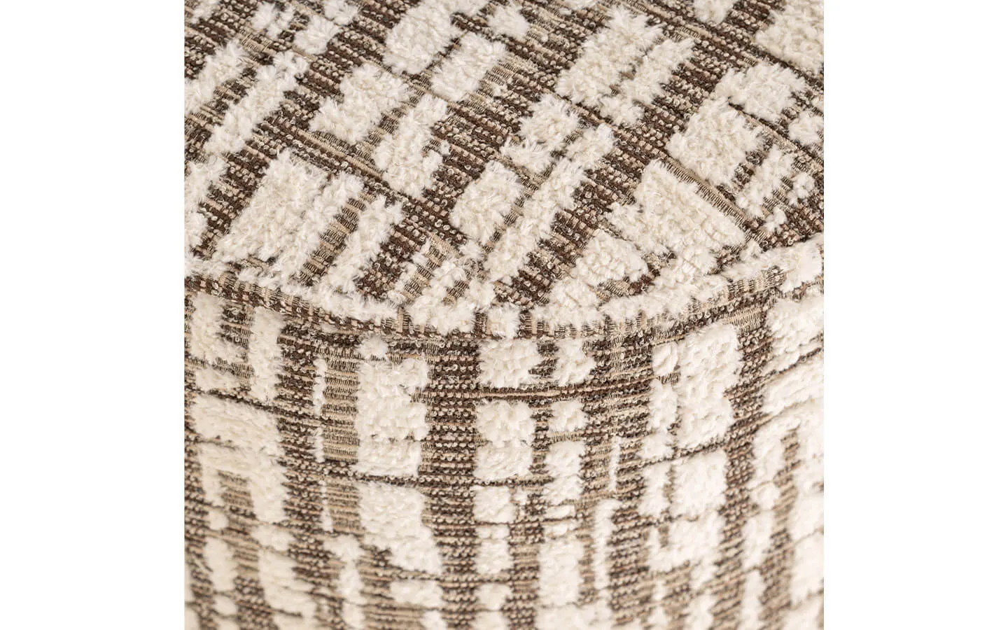
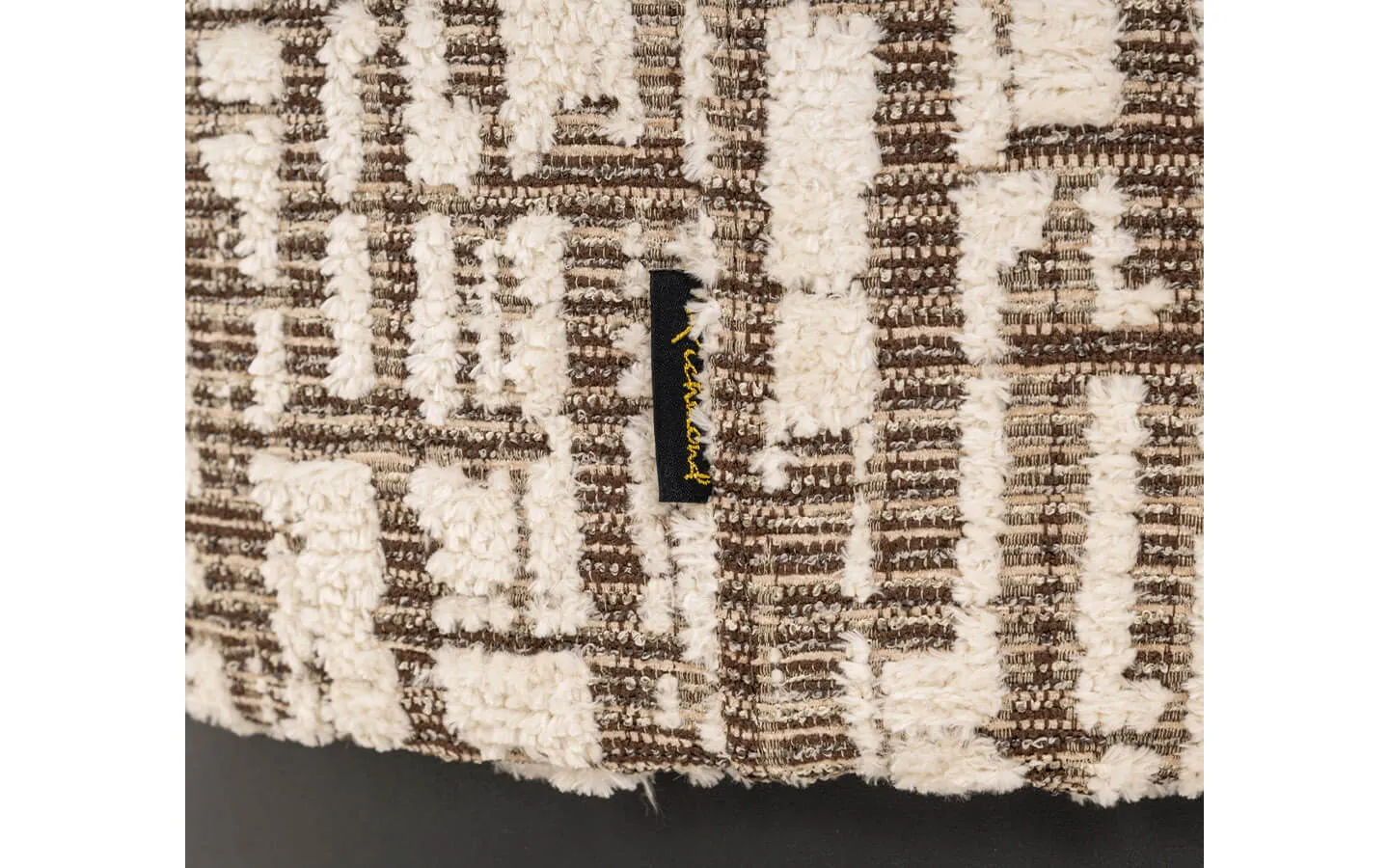
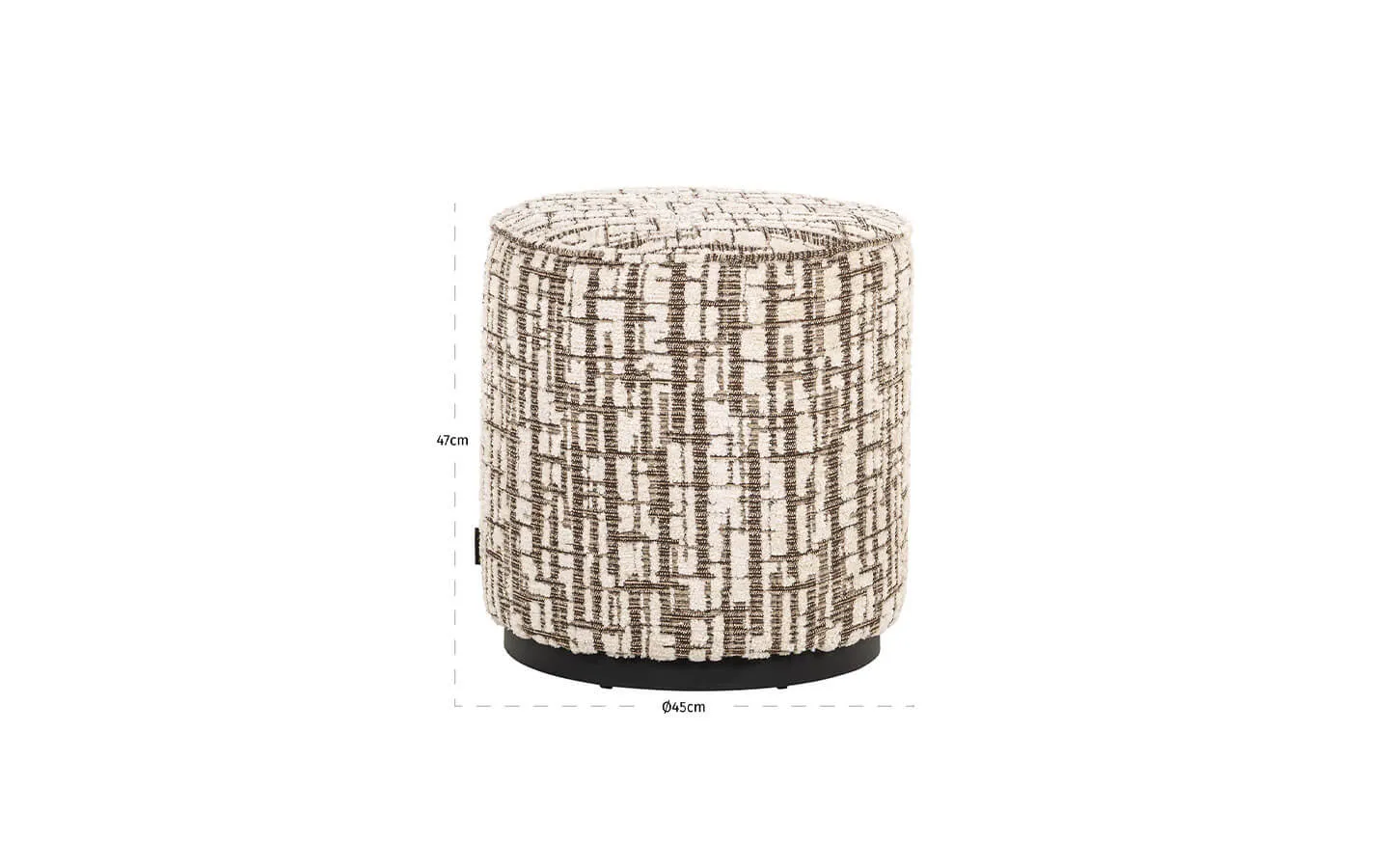
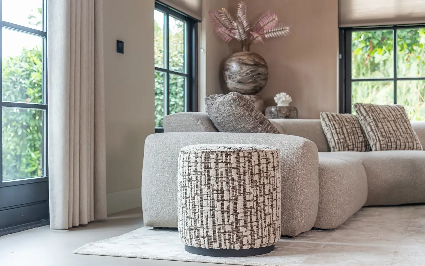
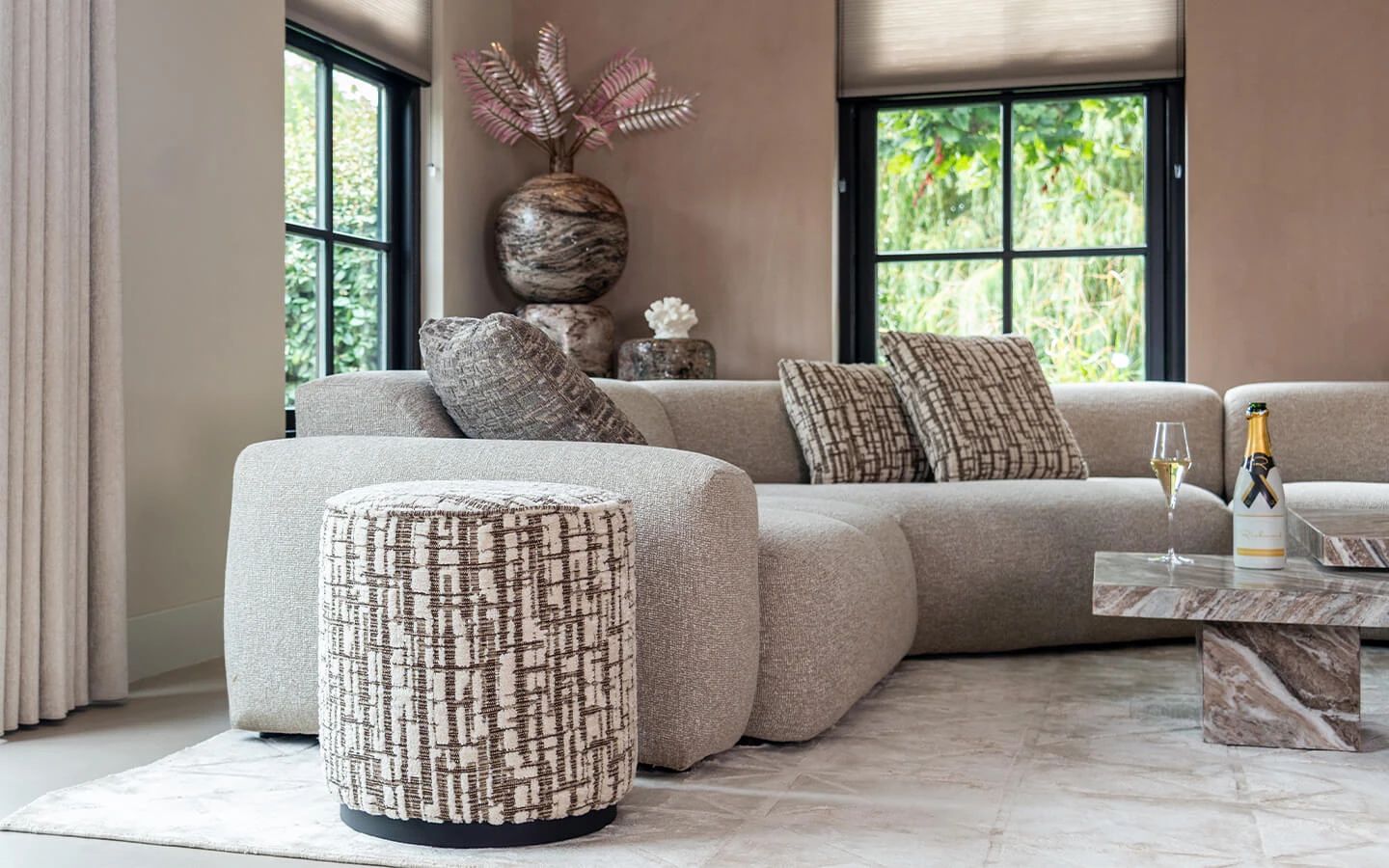
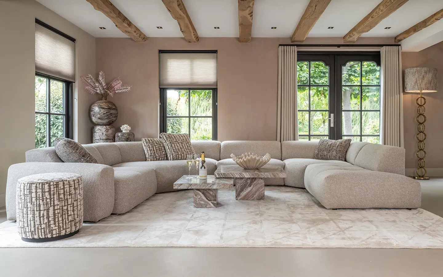
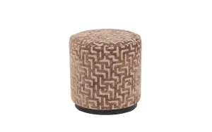
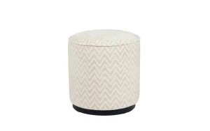
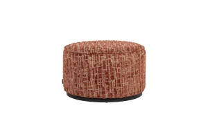
LEXIE CREAM Ø45 от RICHMOND INTERIORS е стилна и практична табуретка, която съчетава мекота, комфорт и универсален дизайн. Изпълнена в нежен кремав нюанс и тапицирана с текстуриран плат, тя добавя топлина и спокойствие в интериора, като същевременно остава достатъчно изчистена и модерна, за да се впише във всяко пространство. Компактната кръгла форма и приятната височина я правят удобна като допълнителна седалка, поставка за крака или декоративен акцент в дневната, спалнята или антрето. LEXIE CREAM Ø45 носи усещане за уют и лекота, като допълва интериора. Тя е идеален избор за домове, в които се ценят фините детайли, светлите тонове и комфортът, превръщайки всяко пространство в по-подредено, стилно и приветливо.
Регистрирайте се за 10% отстъпка от първата си онлайн поръчка!
Присъединете се към STOL Membership Club и отключете своята дигитална лоялна карта, за да се възползвате от ексклузивни привилегии и уникални предложения, създадени за ценители на истинския дизайн.